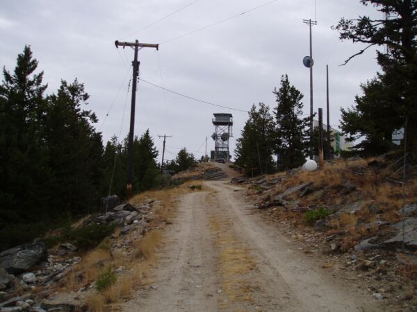
 View from the road looking south.
 Tunk Mountain Lookout
(Last updated October 02, 2003 )
General. Northeast of Omak. This is a fire lookout with excellent exposure in all directions. It can (as of 9/03) be reached with a 2WD pickup truck. There is a lot of radio gear in the area, so RF could be a problem. There is a tent pad just downhill (south) from the highest point.
I visited this site in 9/03 to scope it out for the September VHF contest. I was easily able to get to the lookout, but decided that I could not get the camping trailer in. This would be a great site for a multi-op.
Driving Instructions: There are two ways to get into Tunk. I went in via Riverside (follow the Delorme map - it is pretty easy). The other way is via Tonasket which is longer, but the roads are a lot better. To go via Tonasket, take hiway 20 SE from Tonasket. At mile 13 turn right (south) on Aeneas Valley Road (paved). Go approximately 2 miles to 3010 road to 3015 road. At the intersection of 3015 road and 200 road, turn south on 200 road. This intersection is at the 4500' level. There is a steep pull for first 1/4 mile after the intersection, but it is not as bad as it looks. Take the upper fork through the gate. This route shows up better in the Benchmark map book than in the DeLorme book.
View from the road looking south.
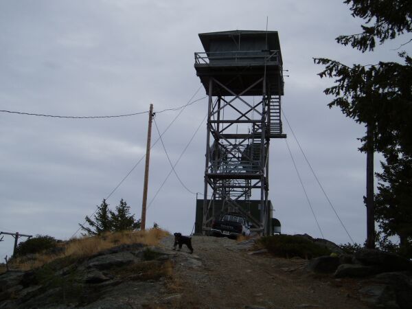 View from the road looking south. The PDA (Personal Dog Assistant) is
Rudy.
View from the road looking south. The PDA (Personal Dog Assistant) is
Rudy.
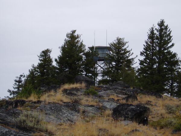 View from the south looking north. This is near where the tent pad.