
High Ridge Lookout
DN05wq
(Last update November 05, 2006 )
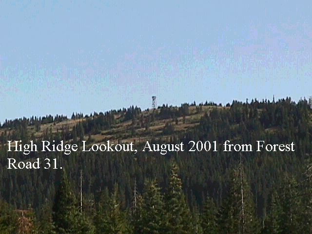
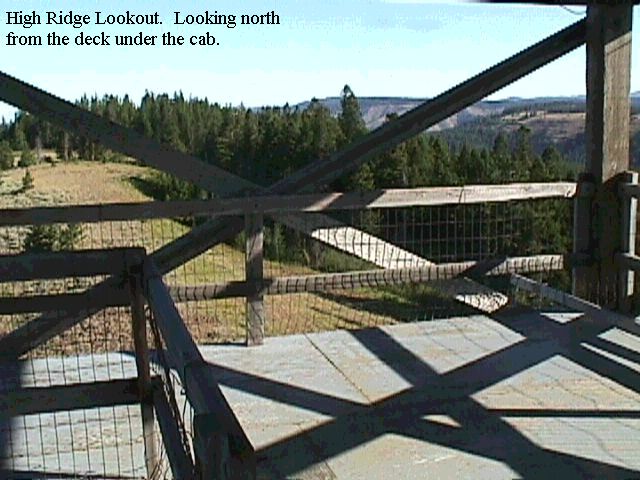
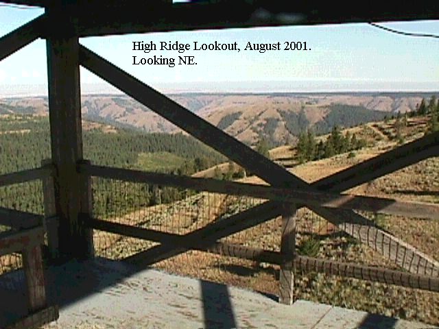
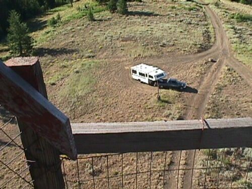
General. This is a Forest Service fire lookout located on a ridge North of LaGrande, OR. It has excellent exposure in all directions. The location on the ground is great, but the decked platform just under the cab on the lookout is even better. Judging by the amount of lightning grounding on the guard tower they must get some horrendous lightning storms up there. This is a great site and is easy to get to. See the photos - I counted 79 steps from the ground to the deck below the cab, so it has to be at least 60 feet off the ground.
This location is not marked on the DeLorme maps, but shows up in the Benchmark map book, Map 43, grid D8.
Update 9/03. Per Rex, WR7X the road to High Ridge is now gated.
Driving Instructions: It is best to locate this site on a good map and then determine the best route. It is on Forest Road 31 (Skyline Road). The roads are well maintained, but many signs are missing. Set your GPS for N45.68091, W118.09009 - this will take you to the turn-off from Skyline Road to the lookout. I recommend that you go there via Hiway 82 and Elgin - it is a little farther, but the roads are much better and a lot faster. Coming in from I-84 you have to travel a lot of gravel road, and it is very dusty. The route from Hiway 82 is paved except for the last mile.
From I-84. Take exit 243 (Summit Road/Mount Emily Road, Forest Road 31) off hiway 84. Go NE on Forest Road 31 approximately 30 miles to High Ridge Lookout Road. As soon as you take High Ridge Lookout Road, the road splits - take the one on the left that parallels the main road. Go north approximately one mile on High Ridge Lookout Road.
From Hiway 82. Go to Elgin on Hiway 82. From Elgin, take Hiway 204 to Forest Road 31. Go SW on Forest Road 31 approximately four miles to High Ridge Lookout road. As soon as you take High Ridge Lookout Road, the road splits - take the one on the left that parallels the main road. Go north approximately one mile on High Ridge Lookout Road.
| Bearings and distances to selected locations from High Ridge | |||
| Location | Grid | Bearing | Distance in Miles |
| Bellevue, WA | CN87 | 306 | 232 |
| CN75 | CN75 | 263 | 291 |
| High Rock | CN97 | 310 | 234 |
| Mary's peak | CN94 | 255 | 278 |
|
Mt. Hebo |
CN85 | 306 | 232 |
| Mt. Crag | CN87 | 304 | 272 |
| Mt. Pilchuck | CN98 | 314 | 242 |
| Steptoe Butte | DN17 | 22 | 101 |
| Wild Horse rest area | DN06 | 316 | 126 |