Rainout Ridge
(AKA: "Hell")*
CN96aw
(Last updated September 14, 2011 )
Update: September 14, 2008. Per KD7TS the upper road to the ridge was closed with tank traps. This is likely a permanent closure.
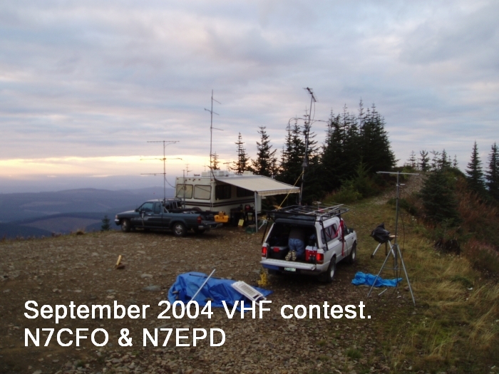
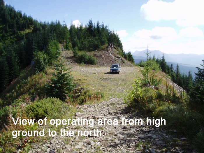
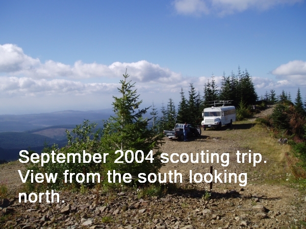
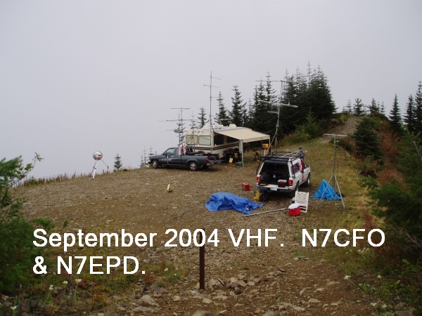
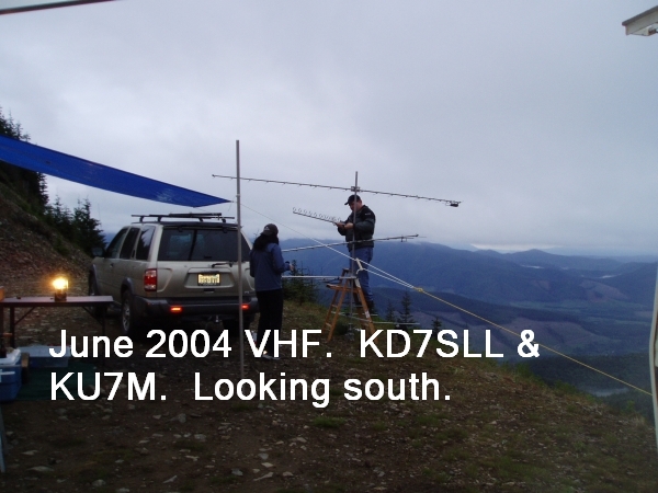
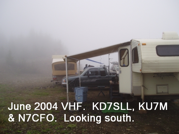
General. This is an excellent operating location, though the weather fronts hit very fast and violently. I operated the 2004 June and September VHF contests from this location and had wild weather both times. It is not hard to get to, but it looks hard on the map. I have pulled a small 5th wheel trailer in there twice, and KB7DQH regularly gets his bus in there - it is a steady climb all the way from Hiway 165, but not particularly steep. This location provides excellent VHF and UHF paths to the entire Puget Sound area, and easily reaches down into Oregon on UHF. Use of this area requires a NW forest pass which can be bought in Wilkeson at the general store. Further info is at http://www.fs.fed.us/r6/feedemo/nwfp.shtml . If you plan to spend the night be prepared for some rough weather. The ridge is on hard rock, and it would be impossible to pound tent pegs into the ground, so you might take buckets to fill with rocks. I strongly recommend a scouting trip before you go up there for a contest. This location is located in an Off-Road vehicle area, so expect lots of traffic. Most of the 4 wheelers are good folks, but I have seen some real morons crashing around in a highly dangerous manner, so be careful on the roads.
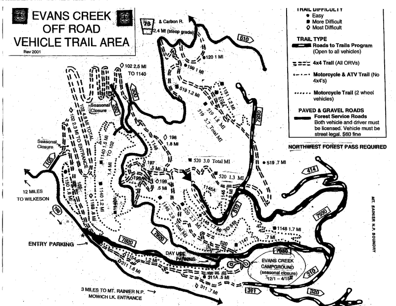
Driving Instructions. Go through Wilkeson, then 14 miles on Highway 165 to Evans Creek ORV area. (Exactly 13.9 miles from the “Historical Site: Wilkeson Elementary School” sign) Go through the ORV parking lot and then drive to the "Y" and go right. On your left will be a parking lot with a bathroom. Just past the “Y” you’ll pass the entry to the Evans Creek campground. Continue up the hill per the following map to the area marked with the arrow. There are 3 major intersections from the Evans Creek campground, take a left at each of them. At the second intersection, there is a road marking just past the intersection labeled FS 7930. You can obtain a better copy of the map from the map board in the parking area. The entire grade is on rock road and traction is good but there may be some washouts.
* So named by KU7M who had some personal problems with it
raining UP at about 65 mph. Kenny has no sense of humor at 0200.