Mt. Hebo
CN85cf
Last update December 26, 2001
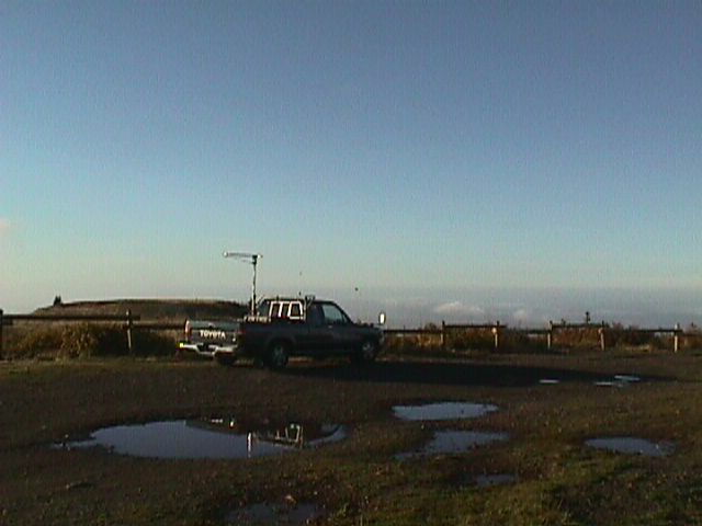
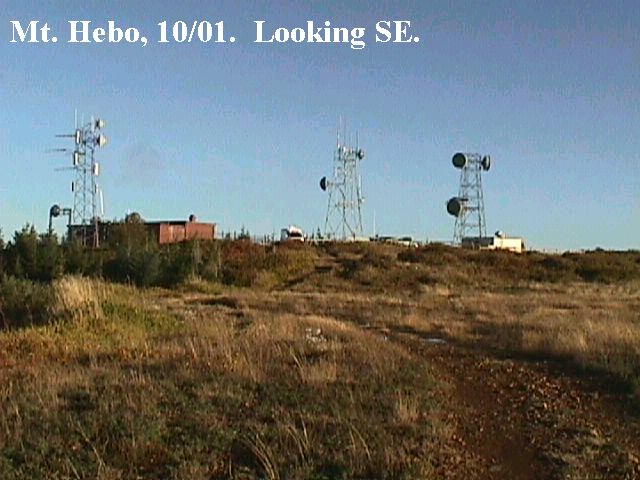
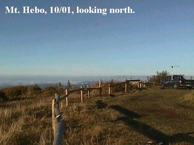
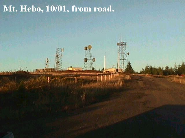
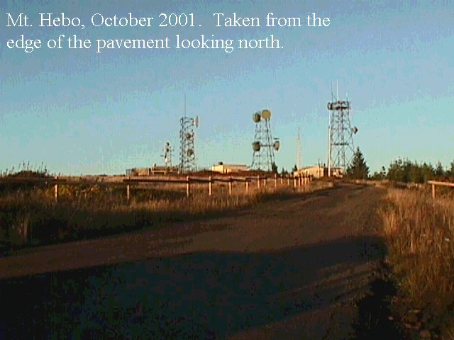
General: The best site at the northern end has been closed off because of an endangered butterfly in the area. The South site is good, as is the helicopter pad at the middle site. All of the USAF buildings have been torn down but most maps still show them.
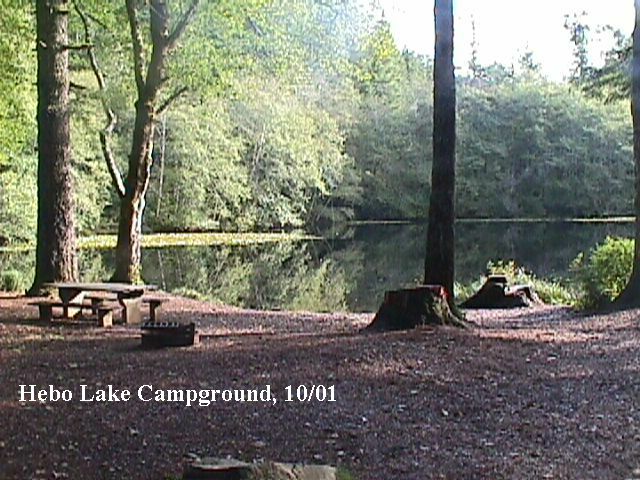
Driving Instructions: Take Hiway 101 or Hiway 22 to Hebo. From the town of Hebo, go east on Hiway 22. Go .2 mile and turn left on forest road 14. Look for the Hebo Lake Mt. Hebo sign. 4.5 miles from 101 you come to the Hebo Lake campground. It has 16 sites with piped in water and pit toilet. From the campground you go up the hill 3.4 miles to the top of Mt. Hebo. The road is paved except for the last l00 yards or so. CN85cf. N 45 12.846 w123 45.310. 5 microwave towers plus 4 buildings.
http://www.topozone.com/map.asp?z=10&n=5006787&e=440720&s=25&u=2
Bearings and distances:
| Location | Bearing | Distance (miles) |
| Frenchmans Ridge. | 55° | 221 |
| High ridge | 81° | 227 |
| Keechelus Ridge | 38° | 188 |
| Mary’s Peak | 168° | 59.6 |
| Mt. Pilchuck | 24° | 217 |
| Paulina Peak | 130° | 162 |
| Pilot Butte | 122° | 146 |
| Ritter Butte | 95° | 231 |
| Steptoe Butte | l66° | 334 |
| Tacoma Downtown121 154 | 121° | 154 |